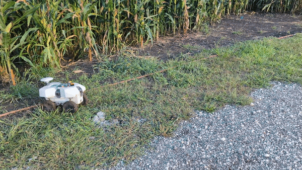
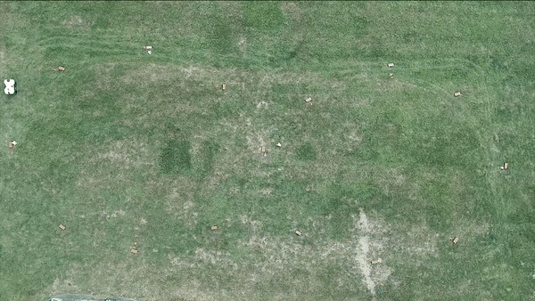
Whole farm autonomous navigation with automatic mode switching
As the leader of this project, we created a hybrid navigation system that autonomously switches
between different sensing modalities. The system accommodates for the unreliable Global Navigation Satellite System (GNSS)
under the plant canopy by leveraging row-crop structure to autonomously navigate. This method showed significant improvements
in achieving about 750 m per intervention over GNSS-based navigation and 500 m over row-following navigation.
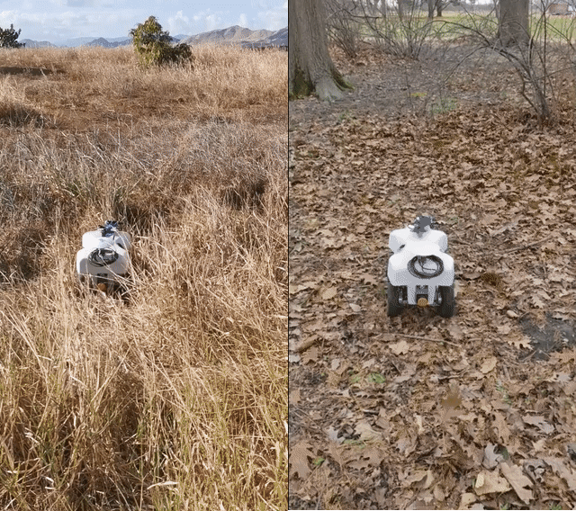
Traversability prediction for unstructured outdoor environments
This was a project led by me where we demonstrated a self-supervised approach for predicting traversability
for mobile robots in outdoor unstructured environments. The method, denominated WayFAST, uses RGB and depth data to predict a
traversability map based on kinodynamic models that estimate traction. This allows for training
a traversability prediction neural network in a self-supervised manner without requiring heuristics utilized by previous methods.
Field testing in various environments, including sandy beaches, forest canopies, and snow-covered grass fields, demonstrated
the effectiveness of WayFAST in avoiding obstacles and untraversable terrain.
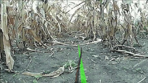
Model predictive control for agricultural navigation
I was responsible for designing a model predictive control system that precisely guided a mobile robot
in challenging agricultural environments, while also being robust to disturbances. This project required a deep understanding
of both control theory and the unique challenges presented by agricultural environments. This controller design is able to
work with either visual or LiDAR-based perception.
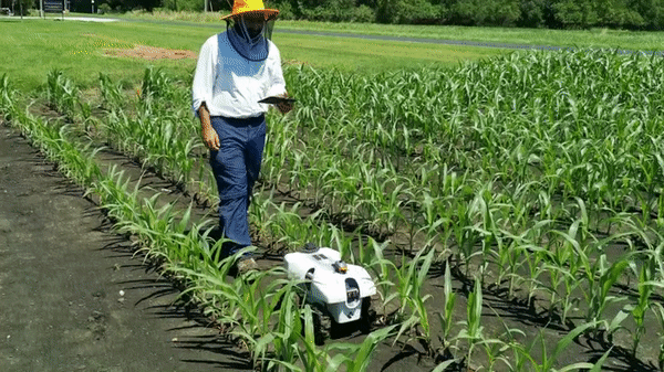
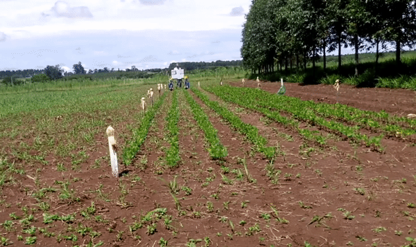
Under-canopy visual-based navigation
As part of this project, I contributed to the development of CropFollow, a system for visually guided
autonomous navigation of under-canopy farm robots. Using machine learning and model predictive control, we overcame the
challenges of unreliable GPS and LiDAR, high sensing cost, and challenging farm terrain. I specifically worked on the design
and implementation of the model predictive control for robust perception with low-cost cameras. Our system outperformed
state-of-the-art LiDAR-based systems in extensive field testing spanning over 25 km, making a significant impact in the
field of precision agriculture.
Neural network-based adaptive MPC
In this project, I participated in the development and implementation of a neural network-based adaptive
model predictive control system. This system was designed to learn uncertainties and model mismatches, allowing it to correct the model
dynamics in real-time. By using a neural network model, we were able to create a control system can adapt to highly complex uncertainties,
providing safe control even in the face of changing conditions and uncertainties.
Mirã's navigation
I played a key role in developing the Mirã robot's navigation system, which uses advanced perception
and mapping techniques to navigate through soybean crops with accuracy and safety. The robot's embedded soil analysis
capabilities are also a major breakthrough, providing farmers with real-time data about their crops. Working on the Mirã
project was a challenging but rewarding experience, and I am proud to have contributed to a major advancement in precision agriculture.
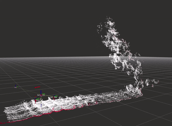
Mirã's perception system
I played a key role in the design and development of a three-dimensional perception system for
the Mirã robot. This system was based on LiDAR sensors and creates a costmap from geometrical features of the scene
to provide a safe and reliable autonomous navigation for the robot.
Design of the Mirã robot
I am proud to have been a part of the team responsible for the development of the Mirã robot.
This innovative robot was specifically designed at the University of São Paulo for soil analysis in soybean crops,
and I was directly involved in the design and building the robotic platform, as well as the programming of the low-level
algorithms and controllers that make this robot move. It was a challenging project, but the end result was a highly functional and efficient robot that
is already making a real difference in the field. Being a part of this team was a fantastic experience, and I am excited
to continue working on projects that have a positive impact on the world.